
Koindu, Kissy Teng Chiefdom, Kailahun District, 22nd June 2025
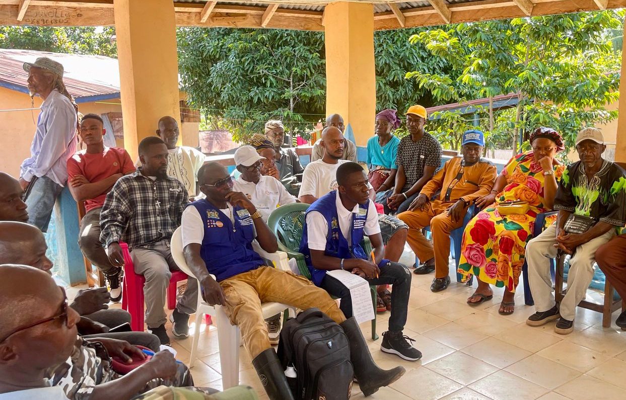
Stats SL has conducted a stakeholder sensitization meeting in Koindu, the headquarter town of Kissy Teng Chiefdom, on the ongoing Pilot Cartographic Mapping exercise for the upcoming 2026 Population and Housing Census.
The meeting brought together Paramount Chief Emmanuel Sahr Ganawah, all five Section Chiefs from Konio, Bumasadu, Lela, Kundu, and Torli, the Member of Parliament, Hon. Ing. Fallah Kenewah Tengbeh, and a cross-section of key stakeholders including the chiefdom speaker, youth and women leaders, the Mammy Queen, bike riders union, and representatives from the Office of National Security (ONS), the Sierra Leone Police, and the Republic of Sierra Leone Armed Forces (RSLAF).


Leadership Voices Strong Support for the Mapping Exercise
In his welcome address, Chief Elliot Fayah Foryoh emphasized the chiefdom’s commitment to supporting Stats SL.
“_The mappers are more than welcome and will be given every necessary support to carry out their work_,” he said.
Hon. Ing. Fallah Kenewah Tengbeh, MP for Kissy Teng, expressed his satisfaction that the chiefdom was selected for the pilot phase. He underscored the need for strong collaboration with national-level stakeholders and called for intensified community sensitization.
“_We must ensure that our people understand and support the cartography process. I will continue to rally our stakeholders to ensure full cooperation_,” he pledged.
Paramount Chief Raises Concerns About Yenga
In his remarks, Paramount Chief Emmanuel Sahr Ganawah reaffirmed the chiefdom’s commitment to the process but expressed concern over the disputed border town of Yenga, currently occupied by Guinean troops. He questioned whether Yenga would still be mapped as part of his chiefdom.
Stats SL Responds on Yenga’s Mapping Status
Silleh Bah, Principal Statistician and Cartographer at Stats SL, reassured stakeholders that Yenga remains part of Sierra Leone according to both official coordinates and national maps.
“Yenga, approximately 2.5 miles from Koindu, will be mapped as such,” he confirmed.
Mr. Bah added that while Sokoma and other accessible communities are currently being mapped, Yenga’s situation will be addressed using high-resolution ESRI satellite imagery, which contains updated building and infrastructure data.
“Should physical access remain restricted, Stats SL will use this satellite data to project Yenga’s population and features. However, we are hopeful the boundary issue will be resolved in time,” he explained.
Communication Director Emphasizes Community Involvement
Speaking on the significance of the engagement, the Director of Communications and PR at Stats SL, Samuel Ansumana, stated that the meeting aimed to ensure broad-based awareness and participation in the mapping exercise. He encouraged local stakeholders to share information with their communities and to identify the most effective local communication channels to ensure that the census message reaches all corners of the chiefdom.
Stakeholders Call for Continued Engagement
Other participants—including traditional authorities, community leaders, youth, and women’s groups—called for continued sensitization and follow-up engagements throughout the mapping process. They emphasized that local involvement is essential to ensure that the cartographic exercise reflects the realities on the ground and builds community trust ahead of the 2026 Census.
About the Pilot Cartography
The Pilot Cartographic Mapping is a preliminary geographic data collection exercise being conducted in four diverse locations:
• Kissy Teng Chiefdom (disputed border area)
• Dema Chiefdom (hard-to-reach terrain)
• Mara Chiefdom (easily accessible rural area)
• Freetown East 3 (urban and accessible)
This pilot aims to test field tools and methods, identify logistical and community-related challenges, and train mapping teams in preparation for the full nationwide census cartography. Lessons learned from this pilot phase will directly inform the national rollout strategy.
Credit: Stats SL Comms & PR Unit


